Spital Point (NZ308 868) to Wansbeck Estuary (NZ304 855)
(Continue to Castle Island (NZ283 855)
The walk from Spital point along the cliff tops via Sandy Bay Caravan Park to The River Wansbeck estuary. This walk can be continued along the River Wansbeck to Castle Island and on further to Morpeth for the more adventurous (9 miles. There is a frequent bus service from Morpeth back to Newbiggin!).
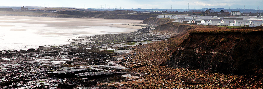
This is a very rewarding walk, one I do regularly, as it covers a multitude of habitats but you do so at your own risk. The cliff top path is heavily eroded and crumbling. The rocky section of the intertidal zone at Sandy Bay is treacherous.
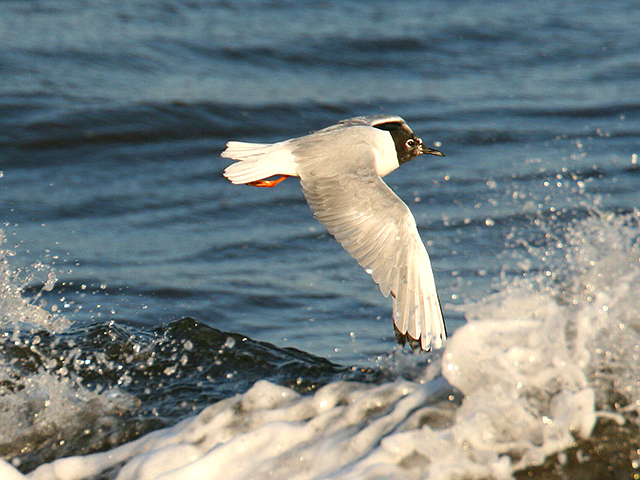
A Bonapartes Gull
by Jimmy Steele
There is a free car park at Spital Point. At North Seaton roundabout on the A189, take the B1334 to Newbiggin. Just before the village turn right and follow the road until you reach the car park on the Left (the allotments and bushes next to the car park can be good for birds during migration periods).
Follow the path South which leads to Sandy Bay Caravan Park along the cliff tops. Keep well away from the cliff edges.
The cliff top path runs along the edge of a large arable field which can be good for birds and any cover on the cliff tops can attract birds (Ortolan Bunting, May 2013)
When you reach the fence line of the caravan Park, there are two options;
Continue South through the caravan Park and arrive at the Wansbeck Estuary, OR

Fulmars
by Hector Galley
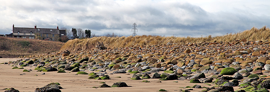
Scramble down the grassy bank to the rocky shoreline. The rocks are very slippery here and it is an intertidal zone. If you are not a fit and able person do not choose this route. 100 yards to the North provides views of the Sandstone cliffs with a clearly visible coal seam running throughout its length.
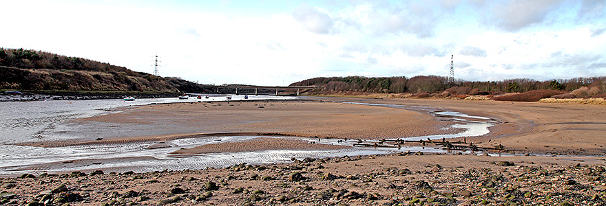
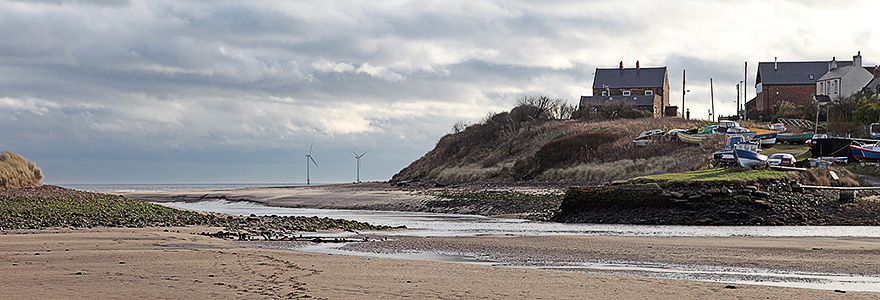
Walking South across the rocks leads onto the beach at Sandy Bay and further on, the Wansbeck Estuary.
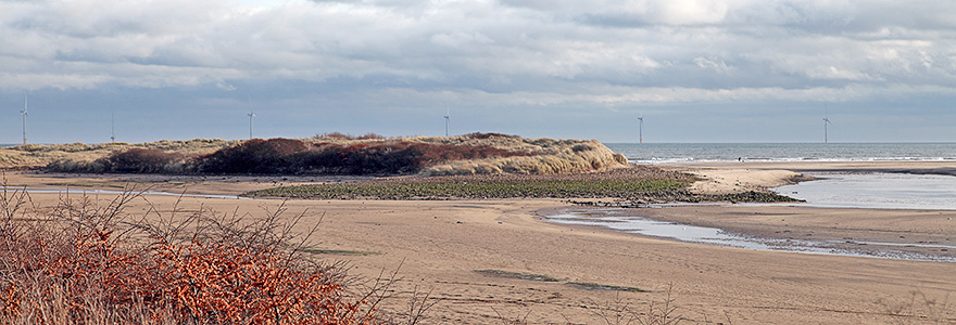
A large spit and area of Marram grass protects the river mouth on the North side and stands of Sycamores, Sea Buckthorn and Willow behind it often holds migrant birds.
The path on the North side of the river runs through the Wansbeck Riverside Park West to Sheepwash (3 miles). Otters have bred recently (2015, 2017) in the pool below the weir and often show well during daytime.

A Knot
by Alan Jack
As the estuary broadens out, the remains of a saltmarsh appears from when the estuary was tidal. This is Castle Island. A local nature reserve since 2003, this site, although unmanaged, can be excellent during wader passage. It is under watched but has still thrown up some excellent rarities incl. Bonaparte’s Gull 2016, Collared Pratincole 2015, 5 Temminck’s Stints 2017).
(This site can be viewed from the South side of the river by parking at West Sleekburn and following the path down to the river through the allotments).

From Castle Island, the path continues west alongside the river to Sheepwash. At Sheepwash bridge, take the road up the hill and at the first bend there is a sign for a public footpath. This leads across the fields to Bothal Village and the public footpath to Morpeth which runs alongside the river through a heavily wooded valley.
A Common Seal by Martin Kitching